I’m so obsessed with looking through historical photographs! They offer a vivid glimpse into bygone eras and forgotten moments.
The internet has become an invaluable treasure trove for those seeking historical photos, and here are some of my favorite Kentucky-ish sites to browse through. Some of the photos are from as far back as the 1840’s!
Several of the websites below provide information on requesting a digital reproduction of an item, for personal use and home/office decor. Printing and framing one of these photos would be such a personal and unique gift idea!
Filson Historical Society
Filson’s Online Image Database
The Filson’s website has curated Collection Highlights, including Mammoth Cave, Jefferson County, and African American History and Culture, which are great to browse through.
My favorite is their Postcard Collection.
University of Louisville
University of Louisville: Digital Collections
This is my #1 stop when I want to find a historical Louisville photo, though the website has maps, newspapers, and yearbooks, too. The search function on this website is very good, in my opinion.
I usually have good luck with searching by neighborhood or street name, and there are lots of photos showing streetscapes and buildings from the past.
University of Kentucky
University of Kentucky: UK Special Collections Research Center and UK Libraries
This is a great collection and skews a little more rural than the UofL collections. Great images and collections on agriculture, barns, horses, and everyday life.
Kentucky Historical Society
This website has some photographs, but the Kentucky Historical Society’s collection extends beyond photos to oral histories, letters, and journals.
One of the hidden gems is full digital access to Kentucky Ancestors, a publication that ran from 1965 to 2013.

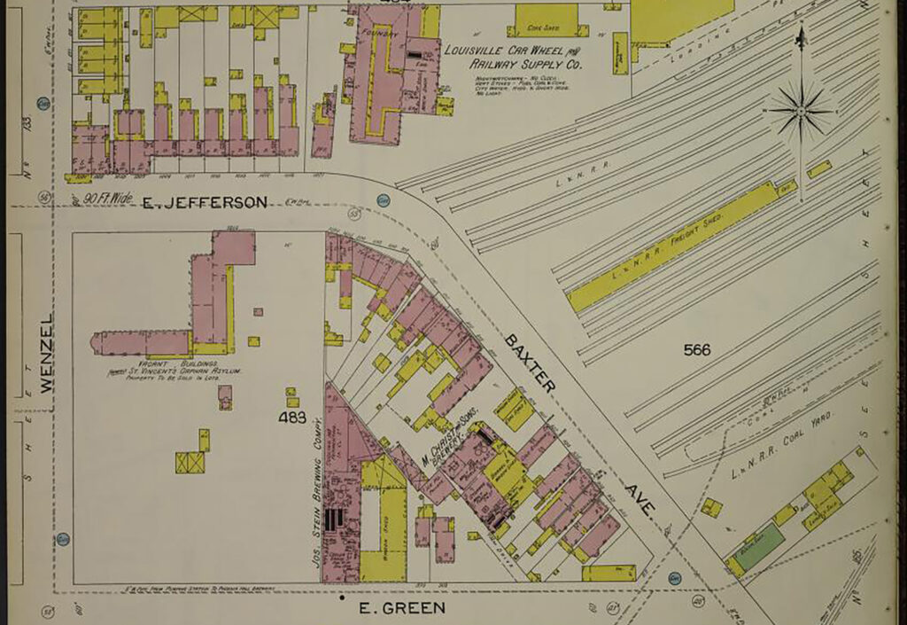
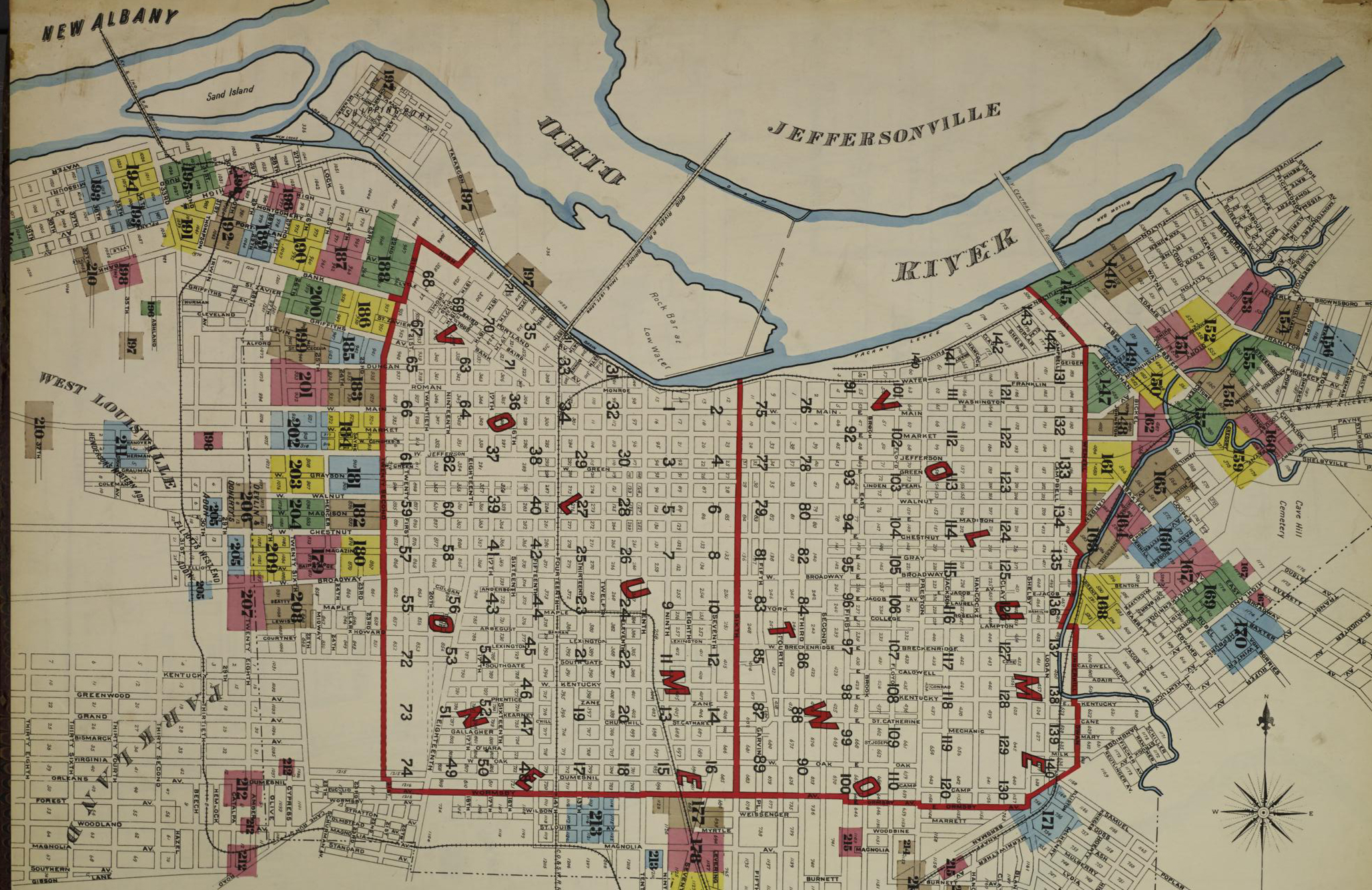
Sanborn Fire Insurance Map from Louisville, Jefferson County, Kentucky. Sanborn Map Company, Vol. 3, 1892. Map. https://www.loc.gov/item/sanborn03204_003/.
Sanborn Maps
Library of Congress Sanborn Maps
A part of the Library of Congress, the Sanborn map collections allow you to search detailed maps of cities throughout the United States. The Sanborn Map company was originally formed to create maps for fire insurance companies.
I can spend hours looking through these seeing how street configurations, street names, businesses, churches, and schools have all changed over the years.
Read through each website for their particular rules for duplication and use. Many of these sites offer free use on social media if the image is credited and linked!
Top Photo Credit: Sanborn Fire Insurance Map from Louisville, Jefferson County, Kentucky. Sanborn Map Company, Vol. 3, 1892. Map. https://www.loc.gov/item/sanborn03204_003/.
